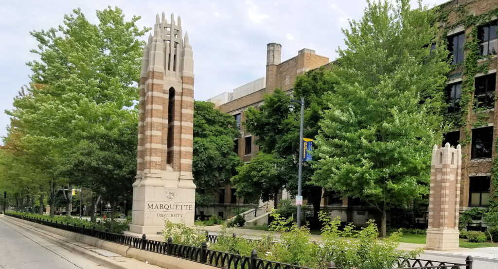
Marquette University, Milwaukee, WI (+43.0376, -87.9311)
Marquette University is a private Catholic (Jesuit) university with its main campus in Milwaukee, Wisconsin. I went to visit in 2018 because of my niece Ashley’s interest in architecture and her desire to see the chapel. Because of my amazing lack of knowledge of sports, I didn’t realize that this was the same university that is regularly in the NCAA basketball March Madness. Ignorance is bliss.
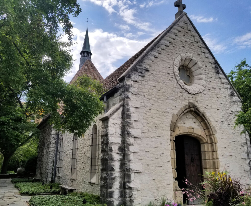
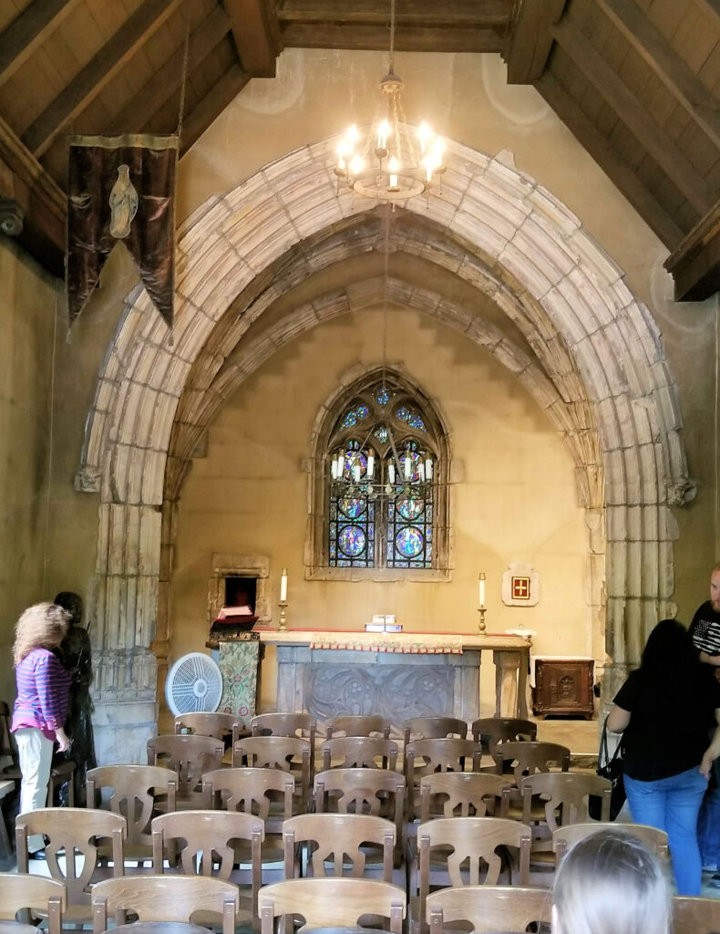
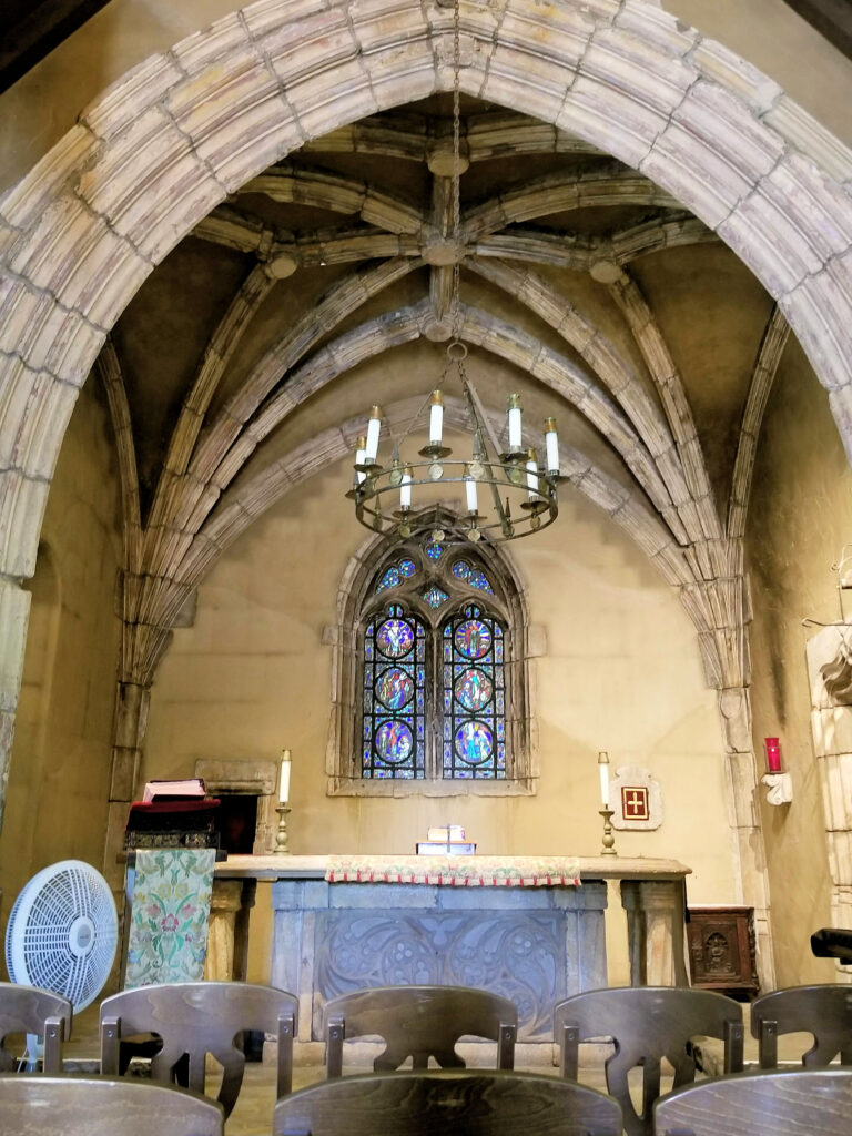
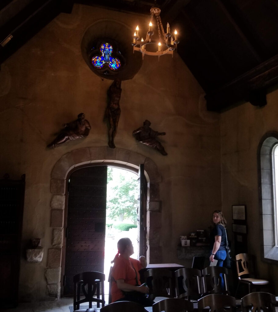
There is a small chapel located on the campus. According to the plaque inside the chapel, St. Joan of Arc Chapel was erected in France around 1420. It was abandoned around 1800, and fell into ruin over the next hundred years. In the 1920s, the chapel was moved to a home on Long Island, New York, and reconstructed. After the owner died in the 1960s, the new owner donated the chapel to Marquette University. The chapel was reconstructed, and was in good shape when we visited. It is a quiet place to pause and meditate.
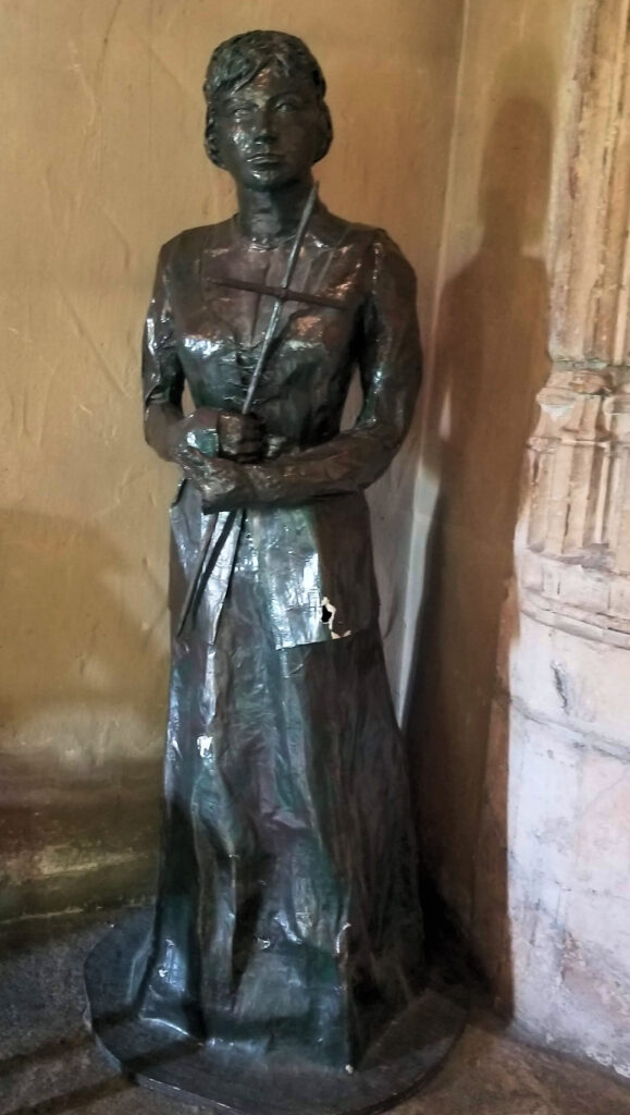
Marquette UniversityExterior of the chapelPlaque inside the chapel telling its historyFront of the chapelA closer view of the altarJoan of Arc statue at the chapelThe entrance of the chapel
For many
Baby Boomers, Superman was in the comic books. But for those
fortunate enough to have television, the show “Adventures of
Superman” was simply fantastic because it showed the Man of Steel
in live action. Who could forget the
rousing music and thrilling words? “Faster
than a speeding bullet, more powerful than a locomotive, able to
leap tall buildings in a single bound…” The
show ran from 1952 through 1958, but continued in syndication for
years afterward,
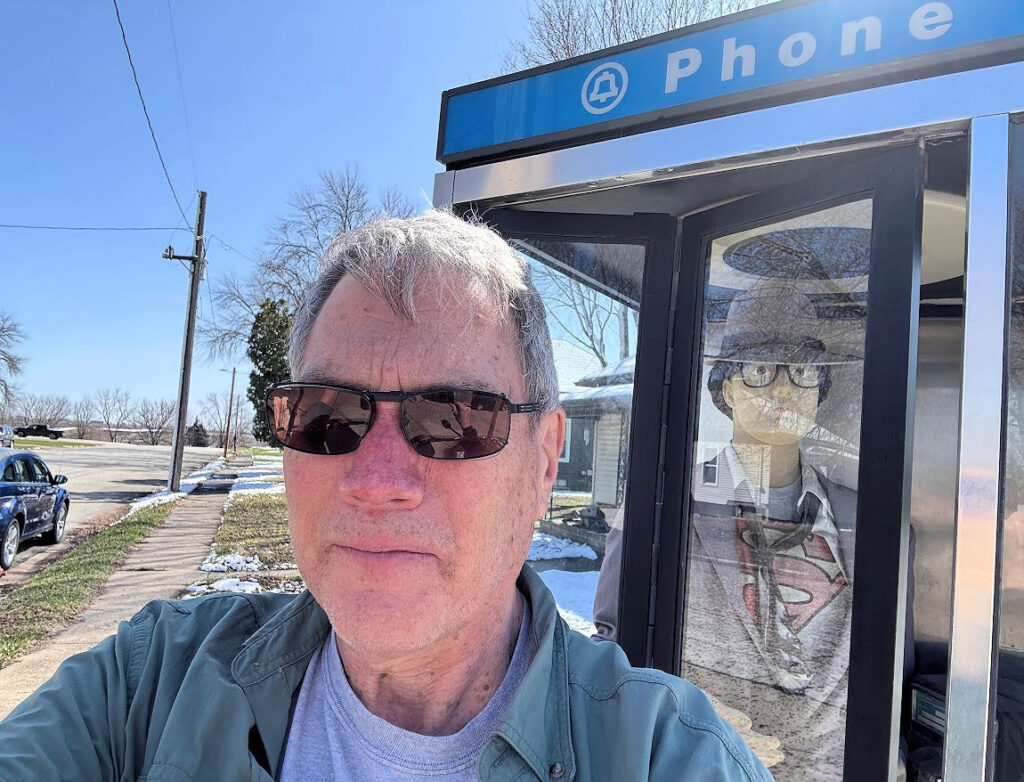
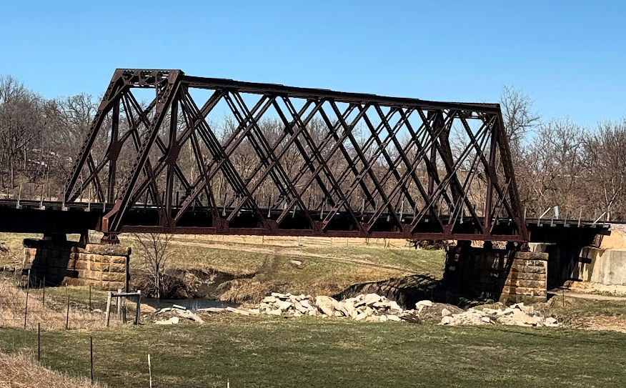
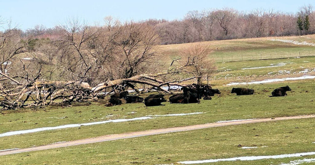
The starring actor in the series was George Reeves. He was born in Woolstock, Iowa, but moved away at a young age. He died at age 45, possibly from suicide, shortly after the show ended. Woolstock is very small (reminiscent of Clark Kent’s hometown: Smallville, Kansas), with a population of 144 in the 2020 census. Much of the town looks rundown, and we did not see anyone in the town at 11:30 a.m, which seemed somewhat ghostly. It felt like a sad reminder of its most famous son who died too young. However, there are still pleasant rural areas around the town, such as a train trestle and grazing cows.
When I visited Woolstock, there are very
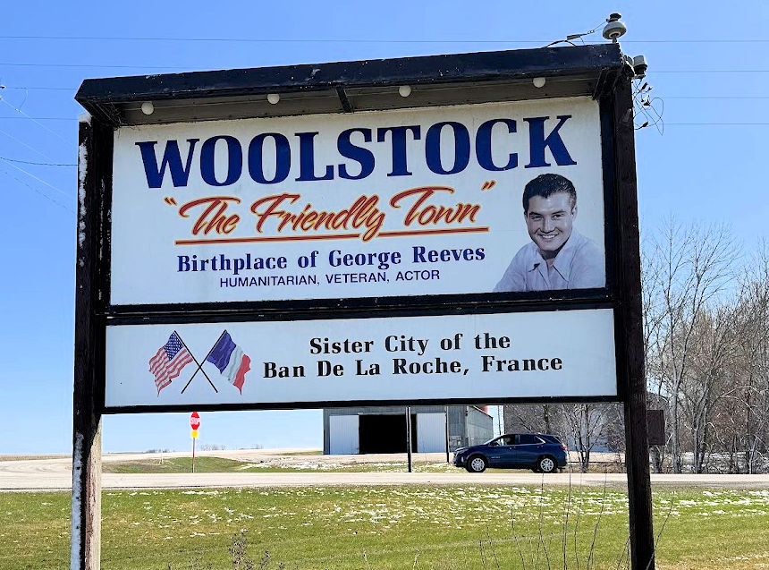
few indications of the George Reeves connection. There is a sign on
the north side of town with George’s picture on it, and the local
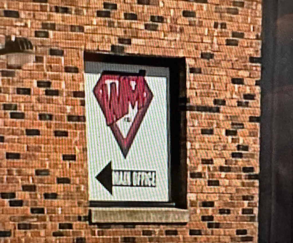
telephone company has a business graphic at its office that reminds
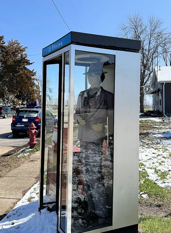
one of Superman’s logo. The most direct allusion is a telephone
booth on the southeast corner of Percival Street and Herman Street.
There is no indication that the phone booth is a memorial, but inside
the booth is a mannequin wearing a suit, the front open to reveal the
Superman costume underneath.
I wouldn’t go far out of my way to
go to Woolstock, but it is an interesting footnote along the 43rd
parallel.
Welcome sign visible from Wright County Road C70Phone booth memorial for SupermanSuperman memorial, March 2025Woolstock Mutual Telephone logoUnion Pacific train trestle along Wright County Road C70 Bovine pasture
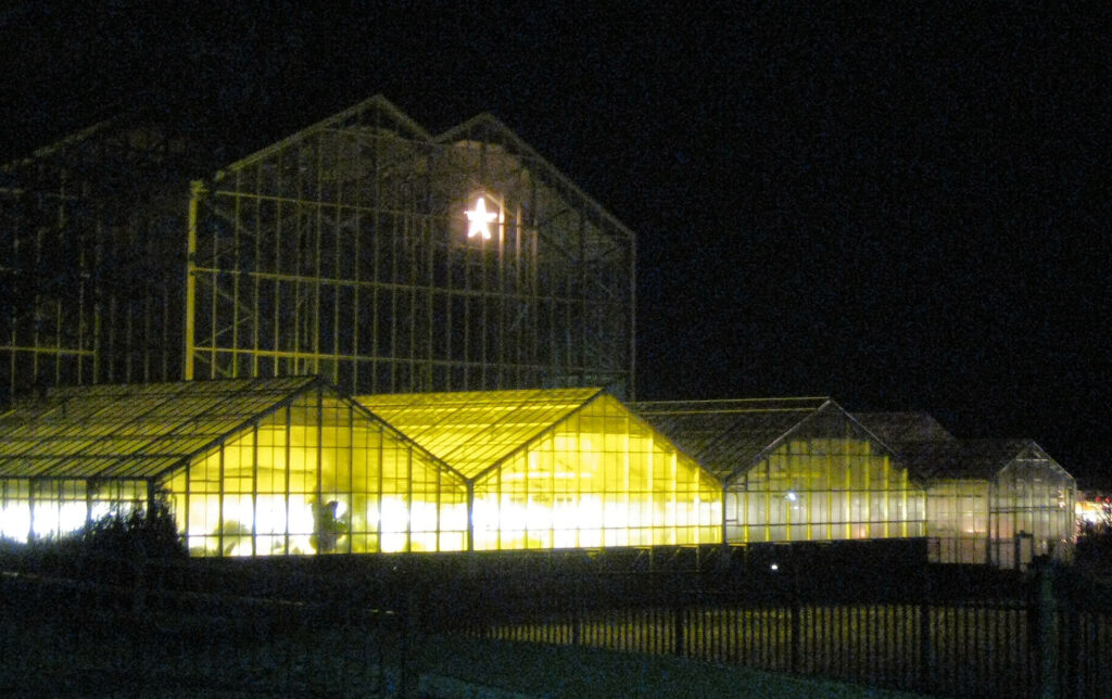
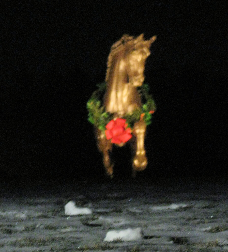
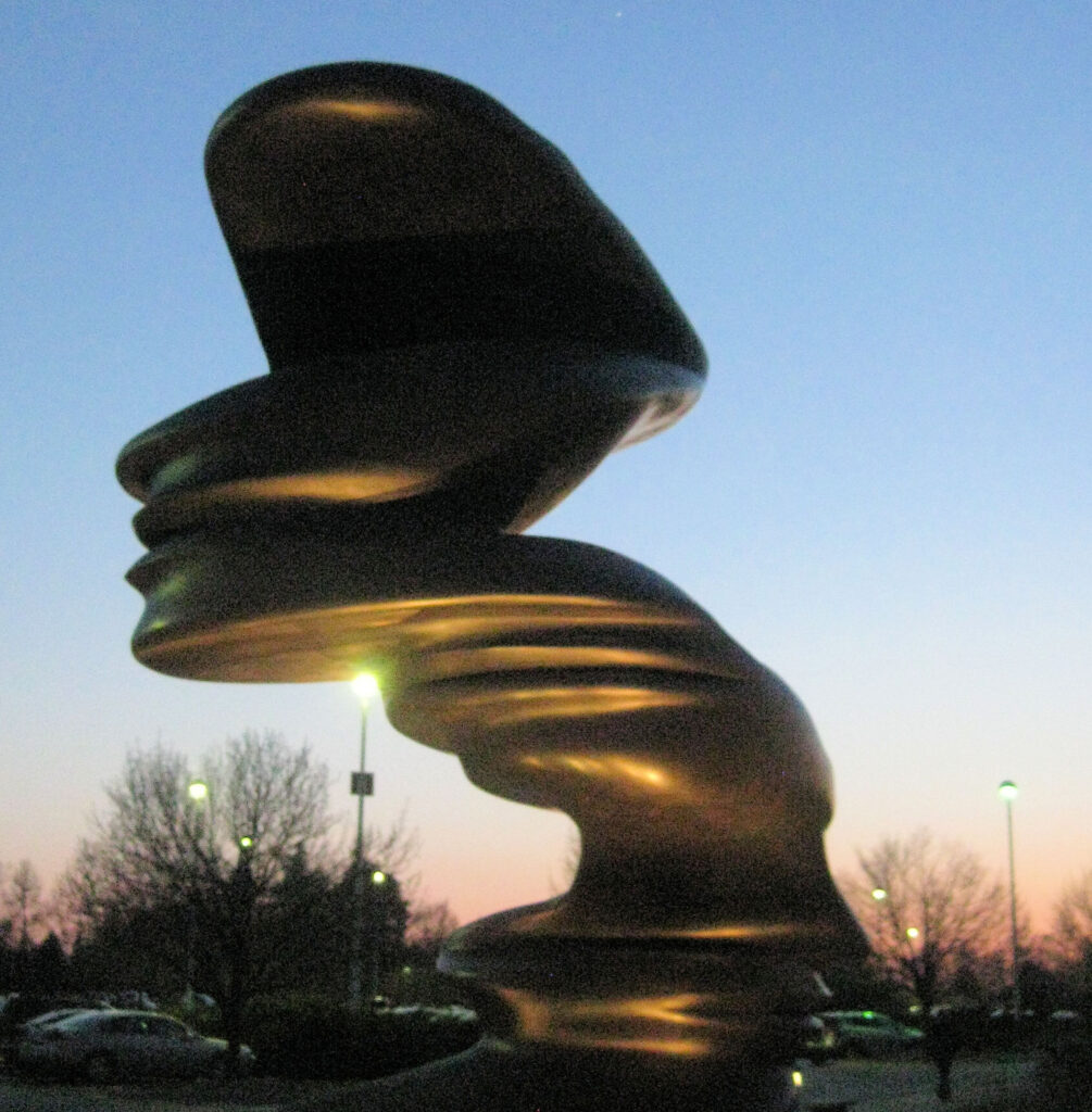
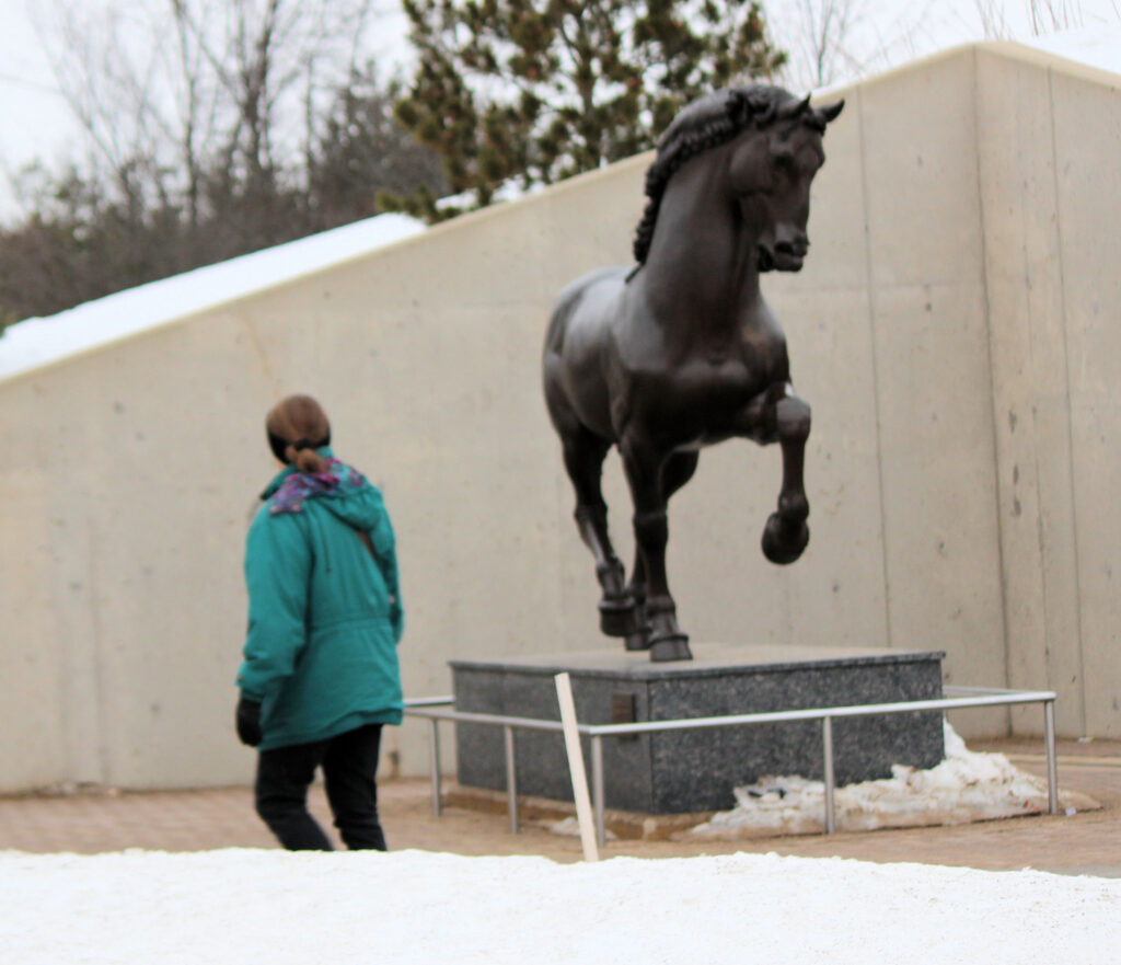
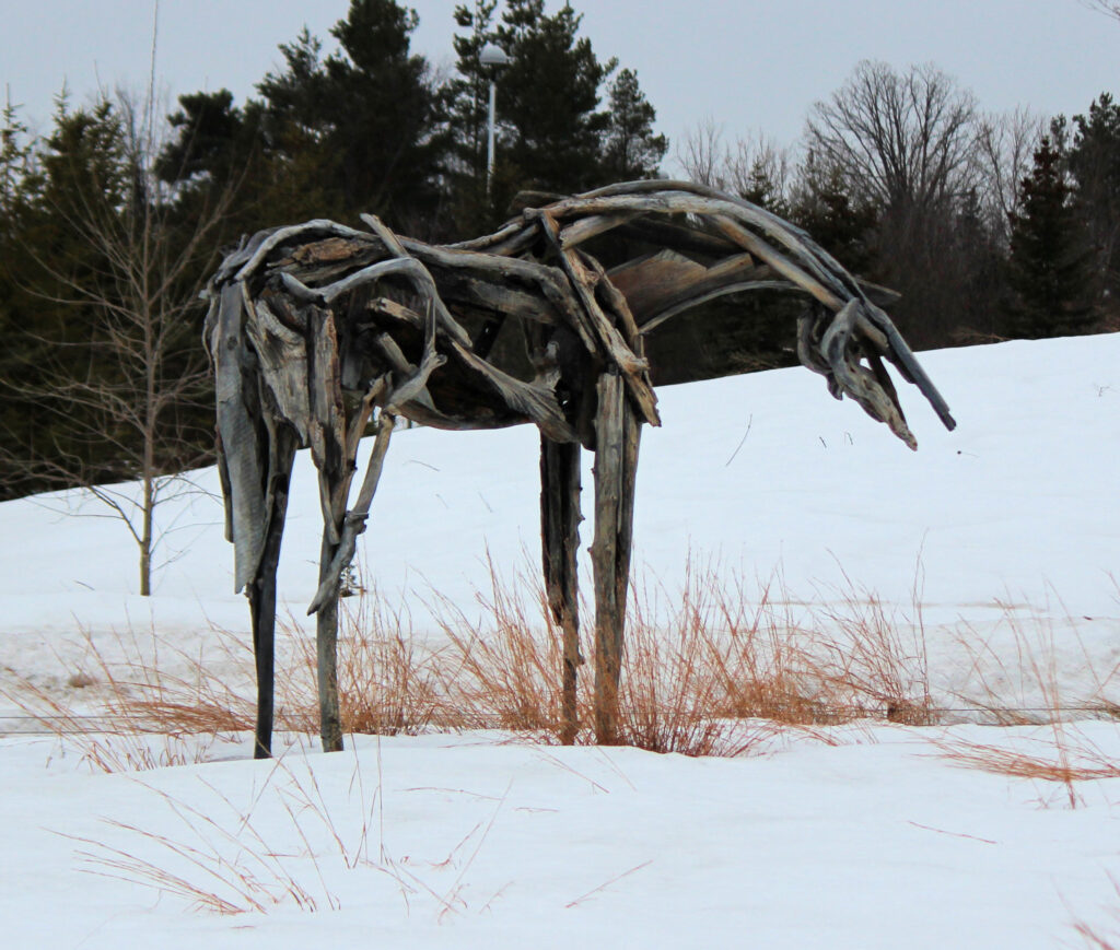
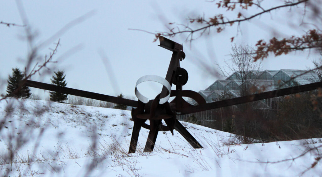
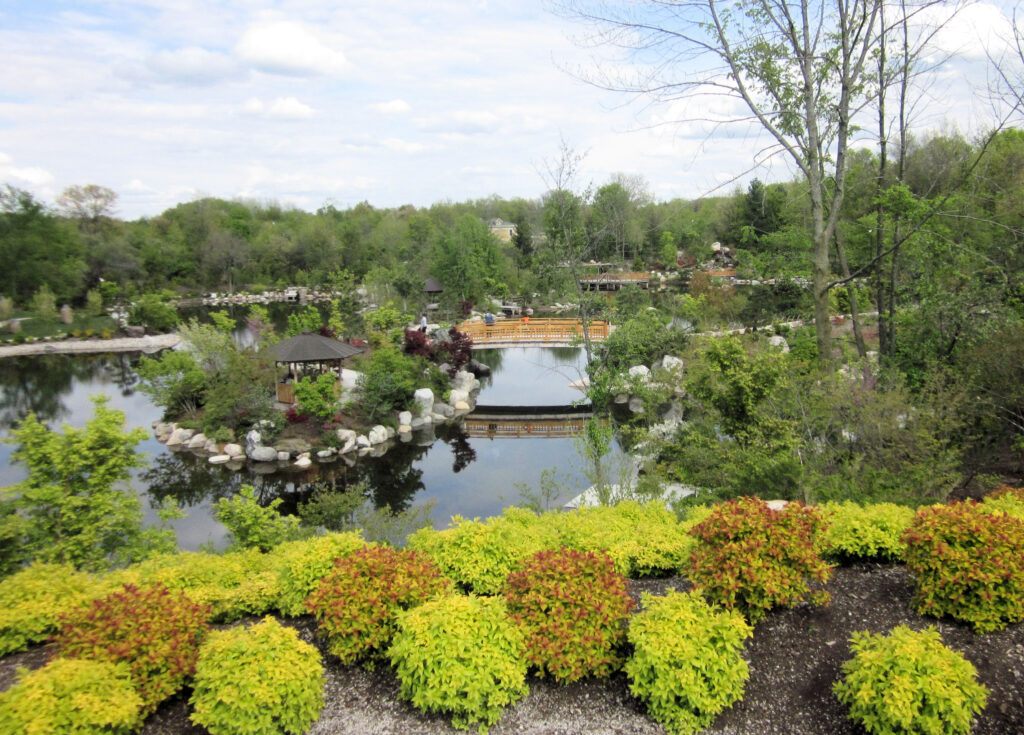
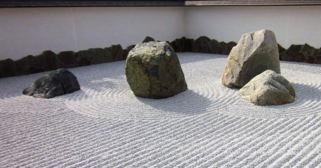
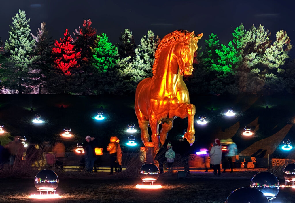
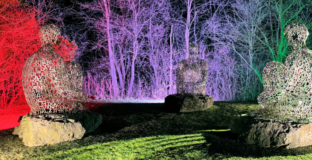
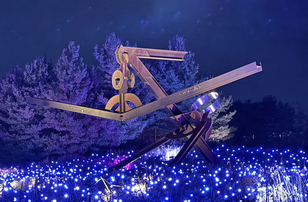
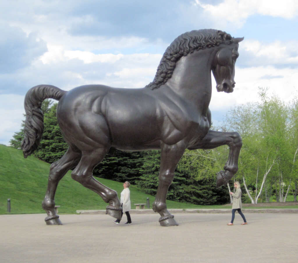
Frederick Meijer Gardens was opened in 1995 by the West Michigan Horticultural Society . Originally, the property was conceived as being mostly a botanical garden; Lena Meijer (Fred’s wife) loved gardens, and supported the local group in developing a local garden. But in order to make the site more of a tourist attraction, Fred helped commission a 24-foot tall bronze homage to Leonardo daVinci’s horse (by sculptor Nina Akamu). While he was involved in the design and construction process, Fred Meijer was exposed to other world-class sculptors. This helped the Meijer family to shift their focus to including works by many sculptors in the park, and made the park into one of the top attractions in Michigan. Many enhancements have been made over the last 30 years, including a butterfly exhibit in the spring and a new Japanese garden area.
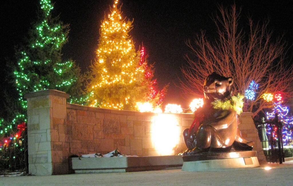
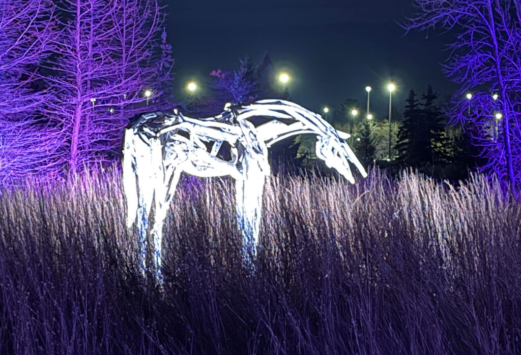
It is a wonderful experience to see the gardens at various times of the year. This year, a winter Enlighten program was done, lighting sculptures at night. The 2024 photos below were taken in December.
Oriskany Battlefield State
Historic Site, Oriskany, NY (+43.1765, -75.3700)
Oriskany is a village in upstate
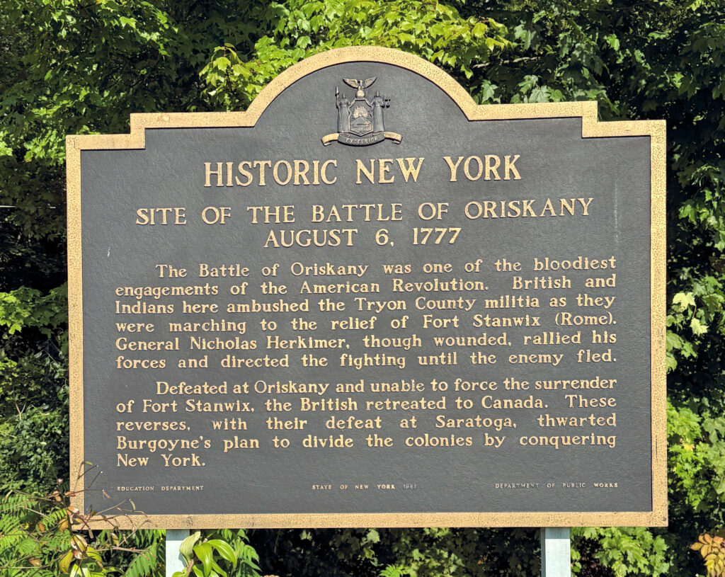
New York, between Rome and Utica. On August 6, 1777, two armies
battled near the village. This was one of the few battles in the war
where there were very few Europeans involved in the fighting. I was
surprised by this, since I grew up thinking that the patriots fought
against the British oppressors. After doing more research, I found
that there were many areas in the colonies where the rebels were not
in the majority; and there were units of settlers that fought with
the British, especially in the early parts of the revolution. For
example, the younger brother of Brigadier-General Nicholas Herkimer
fought as a Loyalist.
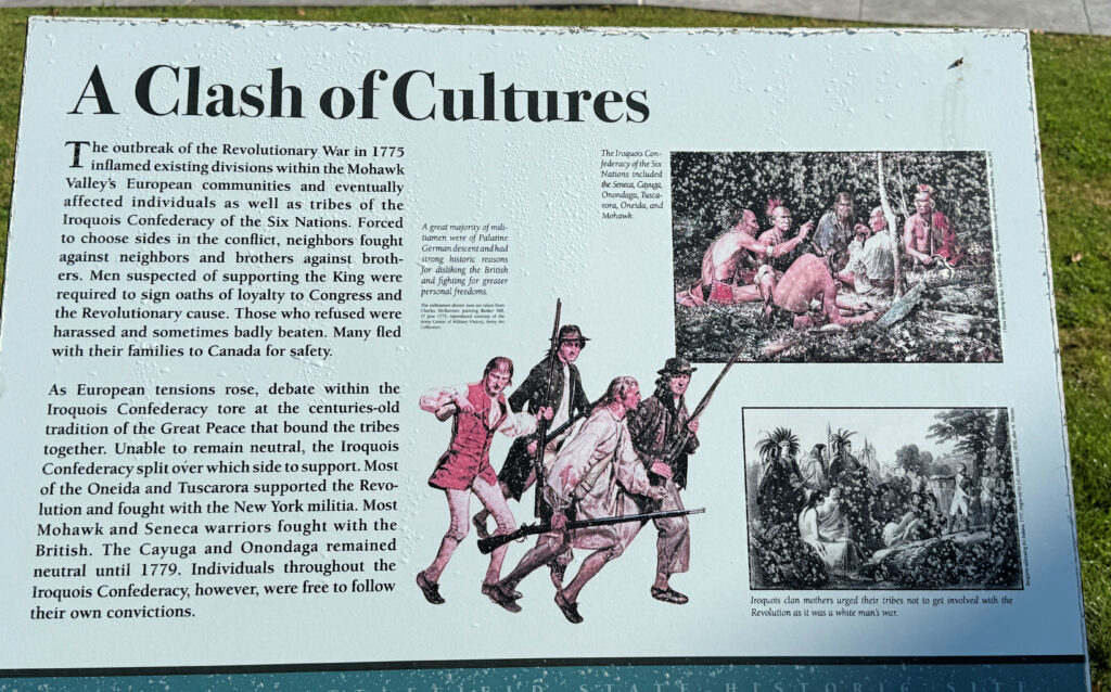
This battle also marked the
beginning of a civil war within the Iroquois nation, as different
tribes allied with the Loyalist and Rebel settlers. In 1763, after
the French and Indian War, the British had agreed that they would
reserve the lands west of the Appalachians for the indigenous
peoples. When the colonists ignored this and began clearing the
forests, the natives retaliated and joined the British.
The battle was one of the
bloodiest in the revolution, based on percentage of the participants.
385 rebels were killed, including Brigadier-General Herkimer. An
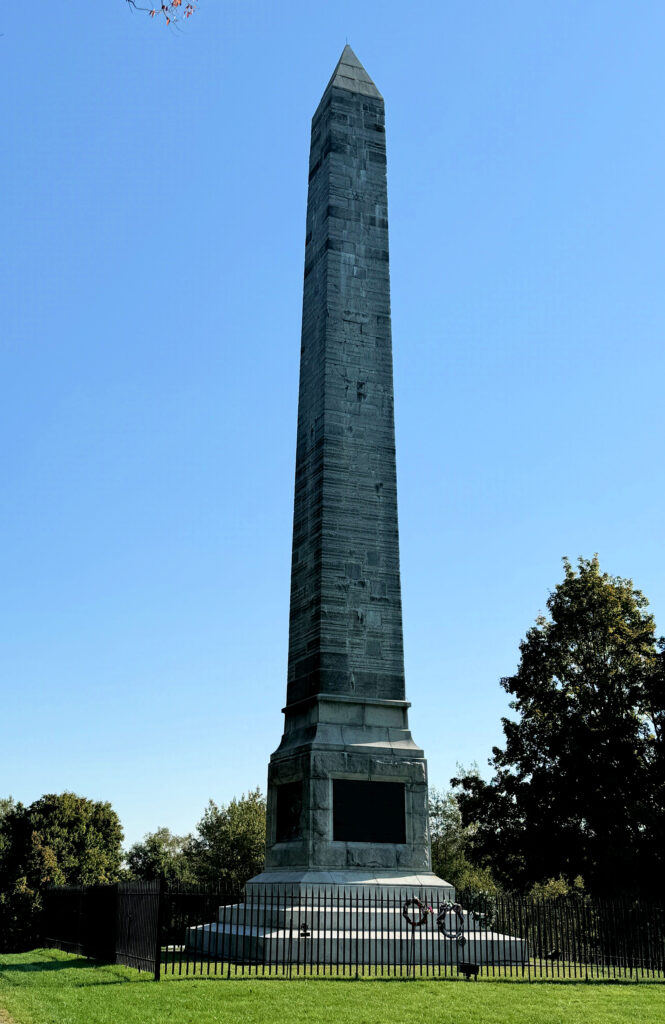
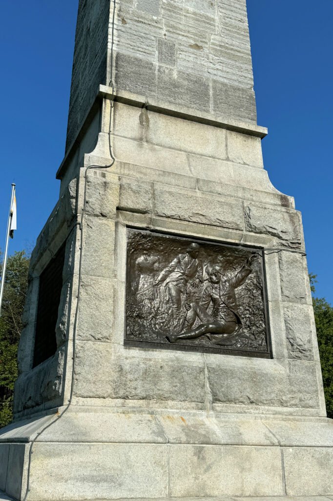
obelisk was erected in 1884 to commemorate the battle. We visited in
September 2024, taking some photos.
After the Treaty of Paris was
signed in 1783, which ended the war and created the United States of
America, between 80 and 100,000 Loyalists left the newly created
country to settle elsewhere. They ended up losing most of what they
had invested in their adopted homeland. One prominent example of the
rifts within families was between Benjamin Franklin and his son
William.
Welland Canal Lookout, St. Catherines, Ontario, Canada (+43.1550, -79.1938)
The
Welland Canal connects Lake Ontario to Lake Erie and allows ships to
travel between the Great Lakes. Until the canal was dug, Great Lakes
shipping could not get downstream to Lake Ontario and the St.
Lawrence River, which connects Lake Ontario to the Atlantic Ocean.
When I was young, I thought that
the canal had been built as part of the St. Lawrence Seaway project
in the 1950s. The project was designed to allow international trade
to come to inland ports like Cleveland and Chicago. But the current
version of the canal was completed in 1932 (although minor
modifications continue to be made. The first, much smaller canal was
constructed in the 1820s, around the same time as the Erie Canal in
New York state.
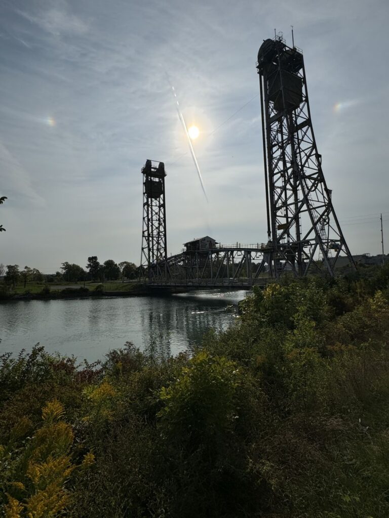
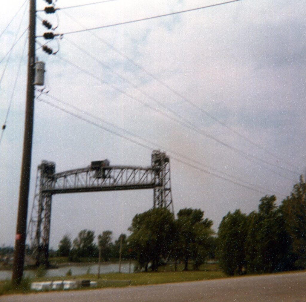
The canal has eight locks to get the ships over the Niagara Escarpment (a steep cliff in the Great Lakes area that I will discuss in a later post). It now takes ships about 11 hours to go between Lakes Erie and Ontario. There are bridges crossing the canal. Some older vertical lift bridges, such as the Glendale Ave. Bridge shown here (photos from 1980 and 2024), can be raised and lowered.
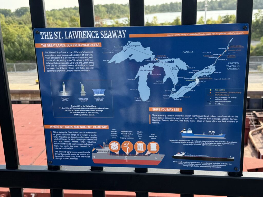
St Lawrence Seaway
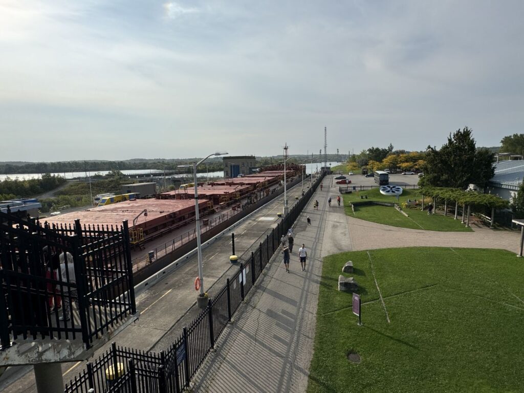
A ship in the lock from the observation deck
Vertical lift bridge in lowered position
Vertical lift bridge in raised position
Because of the St. Lawrence Seaway (and the Welland Canal in
particular), ocean-going ships are now able to travel into the
freshwater Great Lakes. In addition, ocean fish also traveled the
same path. This has caused environmental damage to the lakes, such as
the alewife damage to the beaches when I was a kid. Later coho salmon
were bred to eat the invasive fish, but other unforeseen consequences
happened as a result. Now, we have zebra mussels and quagga mussels
threatening the native flora and fauna of the lakes. For an
interesting discussion that battle, see the book “The Death and
Life of the Great Lakes” by Dan Egan.
Rye Harbor State Park, New Hampshire (+43.0017, -70.7425)
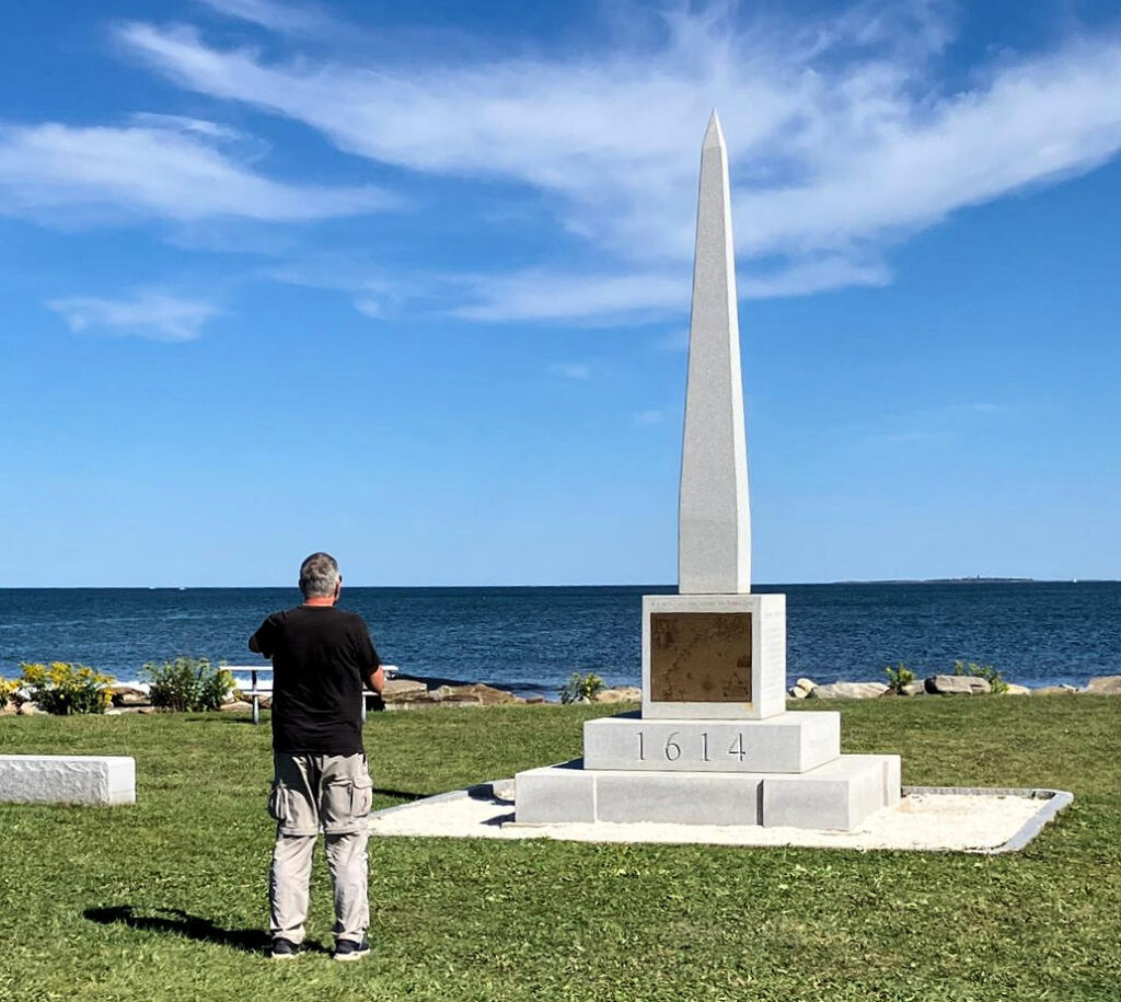
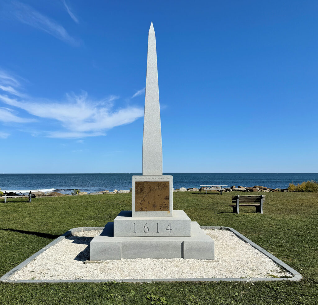
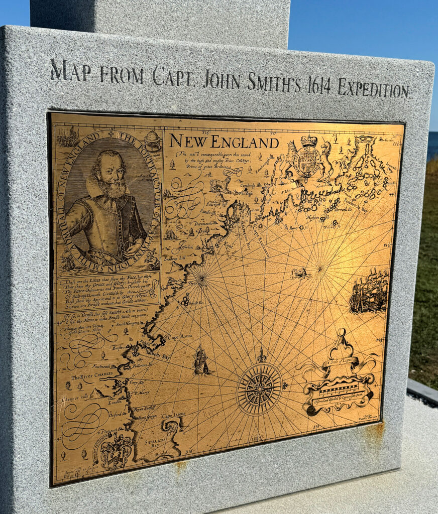
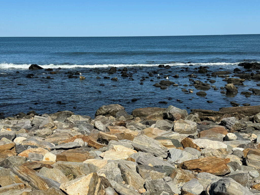
This state park is the furthest east point exactly on the 43rd parallel of latitude in the United States. As we drove to the site and paid our parking fee, I was excited to see a tall obelisk near the Atlantic Ocean. But, alas, it didn’t relate to anything about latitude 43 degrees north. It is labeled 1614, and remembers John Smith’s visit to New Hampshire during that year.
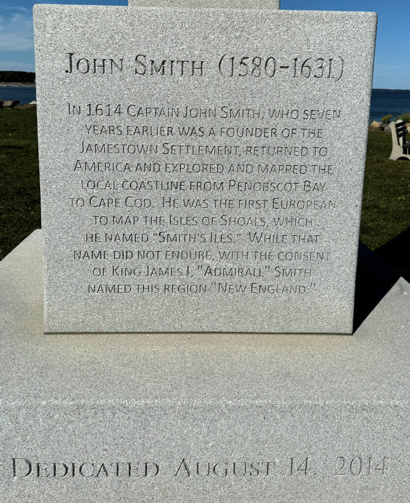
Yes, this is the same John Smith that was a leader of the first British colony in North America -- Jamestown, Virginia. He was a famous author who loved to tell of his exploits, many of which are doubted. You may remember the story of Pocahontas. According to the 1953 World Book Encyclopedia, “… the Indians captured Smith and condemned him to death. He claimed that Pocahontas, the daughter of the Indian chief, saved him by throwing her body on his when the executioner’s ax was about to fall. This story also is doubted.”
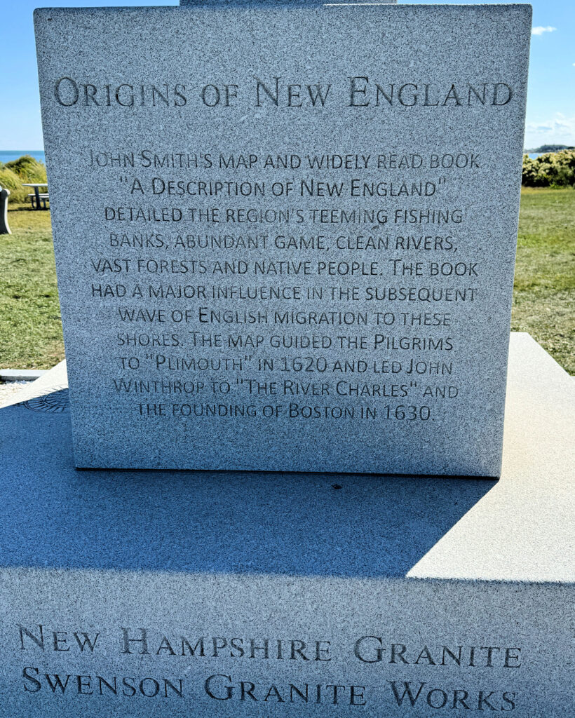
Smith was later injured in a gunpowder explosion and returned to England in 1609. He returned to North America in 1614, where he explored the coasts further north of Virginia, which he named “New England” and made accurate maps of the area. According to the information on the memorial, this map was later used by the Pilgrims when they came to Massachusetts and founded Plymouth in 1620.
The monument was erected in 2014, the 400th anniversary of Smith’s map. I was amused to read that it is 17 feet, 2 inches tall, which is the same as 16 feet, 14 inches (1614).
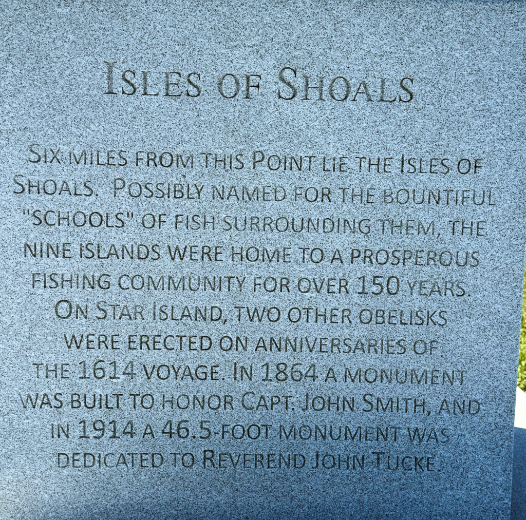
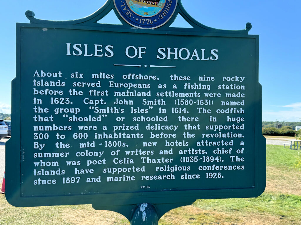
In addition, there is a historical marker in the park related to the Isles of Shoals, visible offshore from the park.
Visiting Rye Harbor State Park, September 2024
John Smith’s map
The Atlantic Ocean from New Hampshire
For more information: http://www.1614monument.com/p/monument.html
1493: Uncovering the New World Columbus Created, by Charles C. Mann (2011), Chapter 2 (“The Tobacco Coast”)
World Book Encyclopedia, 1953, “Smith, John” entry
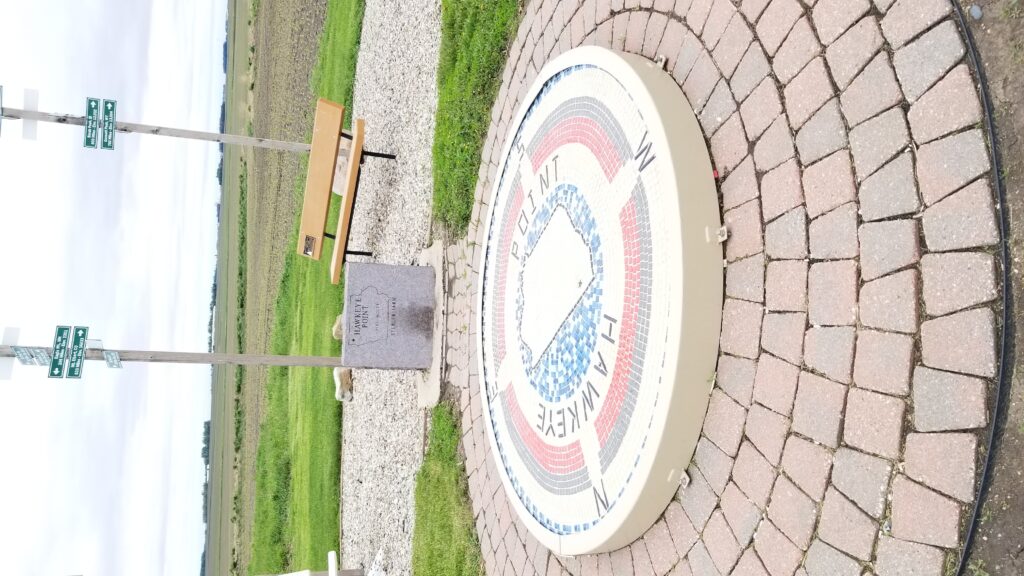
This spot, just over 3 miles south of the Minnesota border, is listed as the highest elevation in the state of Iowa. It is located just east of Iowa highway 60, northeast of Sibley, Iowa.
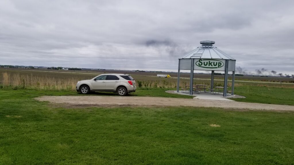
If you search for “Hawkeye Point” in Google Maps, it is listed as a Mountain Peak. You will be sorely disappointed if you want to see a peak, or even a big hill. Geographically, Hawkeye Point is a rise near a silo.
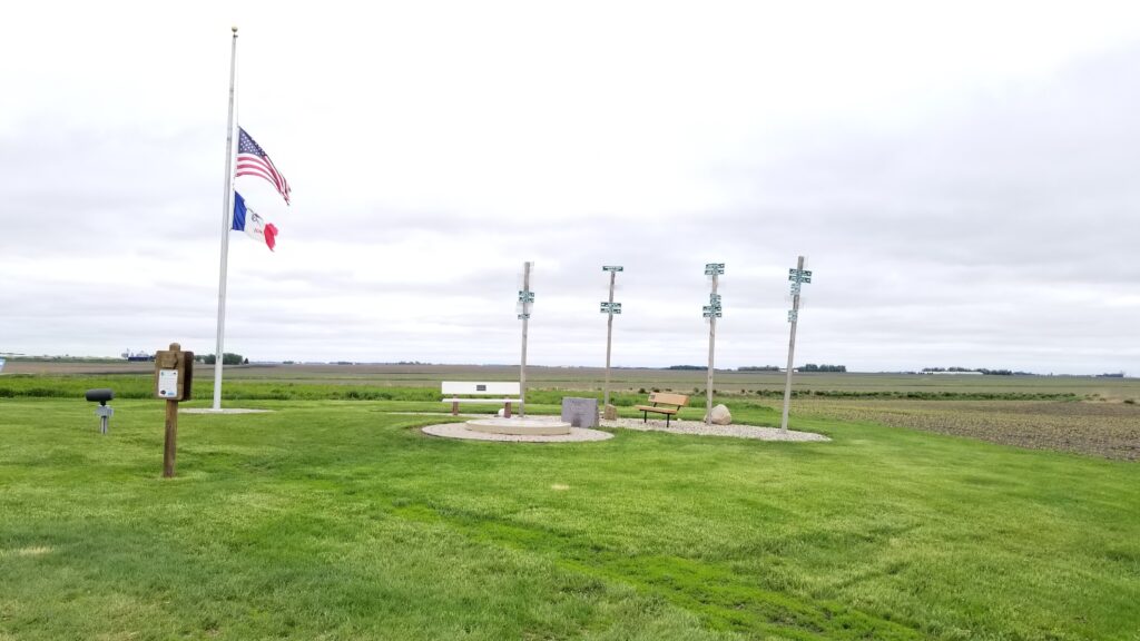
Osceola County has done a good job of making a metaphorical mountain out of a molehill. There is a nice mosaic at the site, and signs pointing to other states’ highpoints. They also have a bulletin board sharing information about other interesting places in the county.
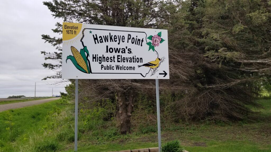
Entrance sign from IA-60
Looking SE from Hawkeye Point
Hawkeye Point
Looking west from Hawkeye Point
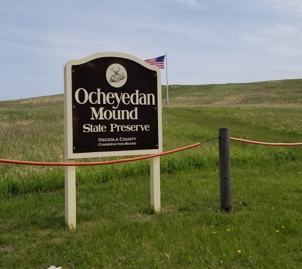
For those that prefer the highpont in a state to look like a hill, I would suggest traveling about 15 miles southeast from Hawkeye Point to Ocheyedan Mound.
Ocheyedan Mound (+43.4029, -95.5217)
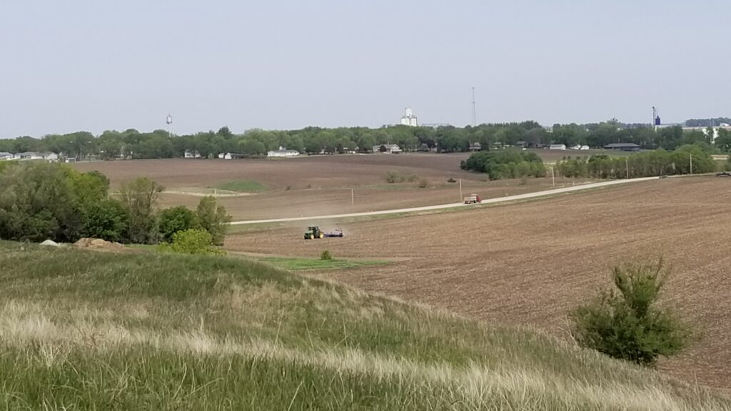
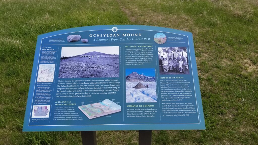
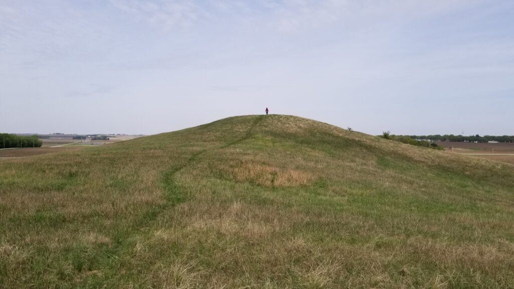
Ocheyedan Mound was thought to be Iowa’s highpoint until 1971. It is 15 feet lower than Hawkeye Point, but rises high above the surrounding countryside. The mound used to be higher, but until 1909 people removed gravel and sand from the top.
The mound is technically a glacial kame, formed by retreating glaciers during the last ice age.
Parking lot SW of mound
From the top of mound: toward Ocheyedan
From the top of the mound, seeing where glacial fill had been removed
For more information:
https://en.wikipedia.org/wiki/Hawkeye_Point
https://www.mycountyparks.com/county/Osceola/Park/Ocheyedan-Mound.aspx
https://en.wikipedia.org/wiki/Ocheyedan,_Iowa
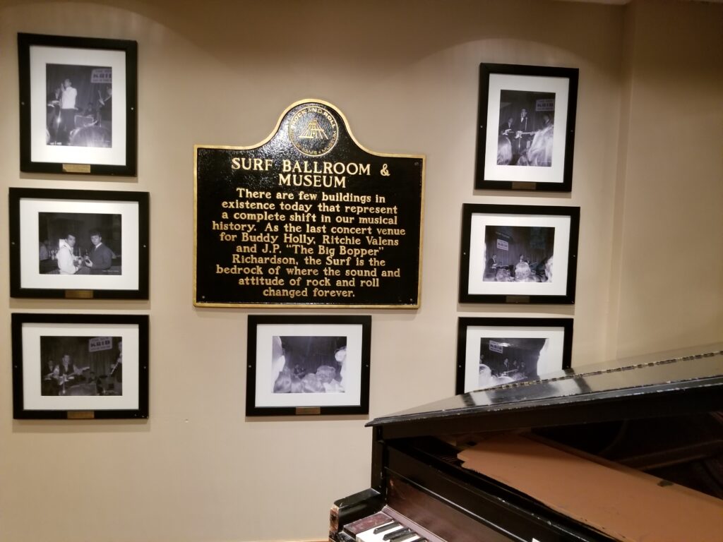
The Surf Ballroom is a nightclub in north central Iowa, near where I-35 enters Minnesota. It could have been torn down long ago except for its important place in musical history. It was the location of the last concert put on by Buddy Holly, Ritchie Valens, and the Big Bopper (J.P. Richardson) on February 2, 1959. After the concert, Holly, Valens, and Richardson took off in a small plane piloted by Roger Peterson. Six miles northwest of the airport, the plane crashed into a field, killing all its occupants. The musicians were all young: Holly was 22, Valens was 17, and the Big Bopper was 28.
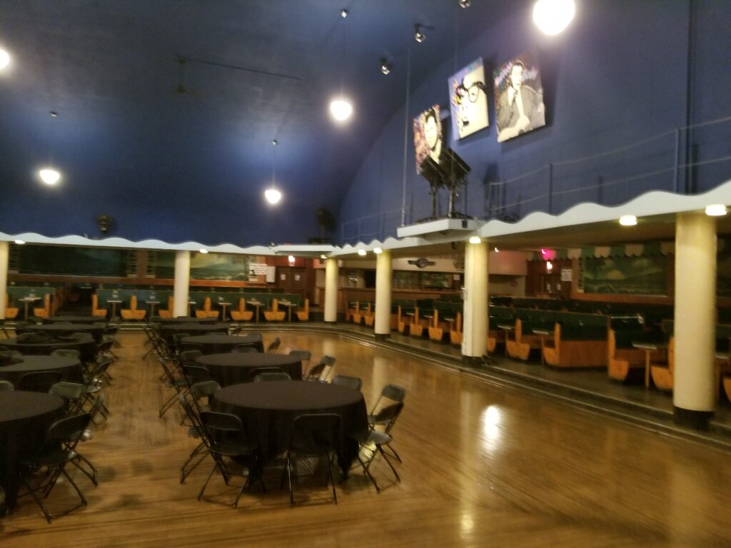
For its size, the Surf Ballroom has a tremendous amount of information related to roll-and-roll history. There gold records, handwritten lyrics of the song “American Pie” by Don McLean, and signatures of musicians that visited over the years. It is an oldies paradise.
A non-profit organization runs the site now, For a suggested donation of $5 USD, you can take a self-guided tour of the building. Plan on an hour; unless you are a sentimental baby boomer, which will take you longer if you read all the historical information.
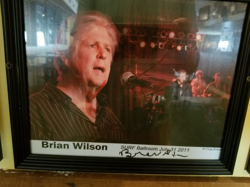
Inside the ballroomA photo from Brian Wilson’s visit in 2011
Buddy Holly Crash Site (+43.2200, -93.3744)
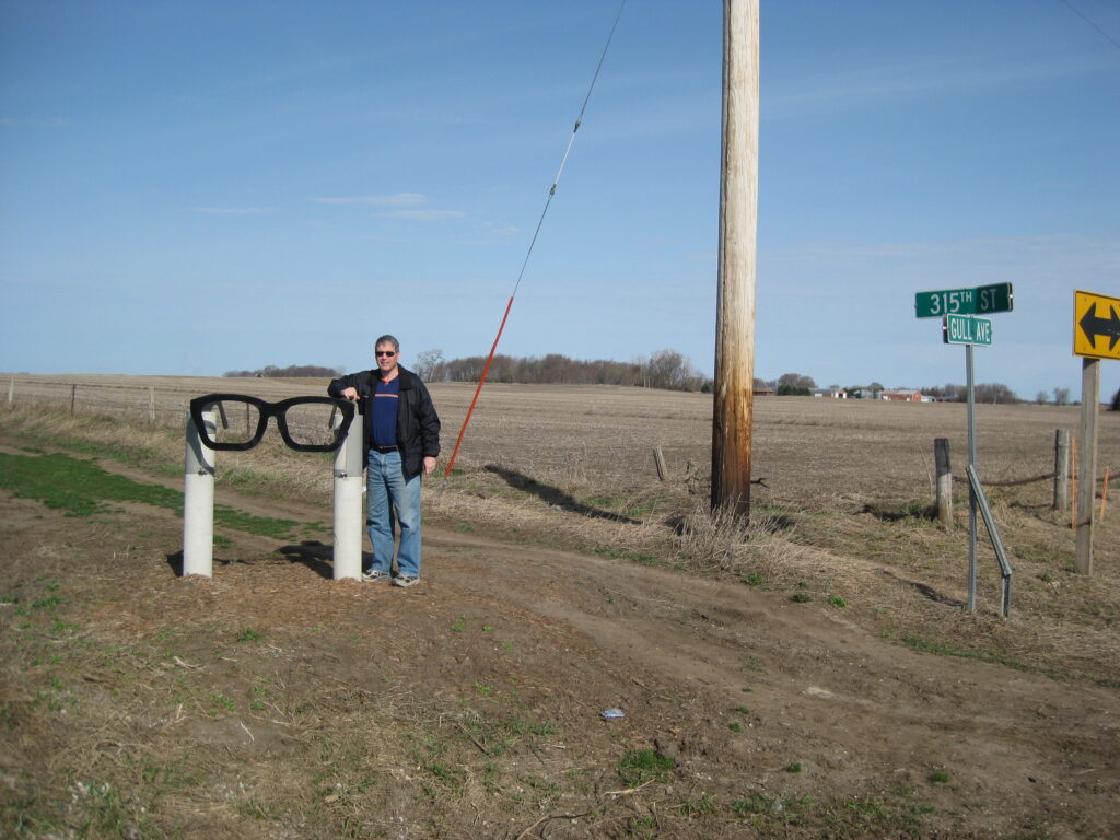
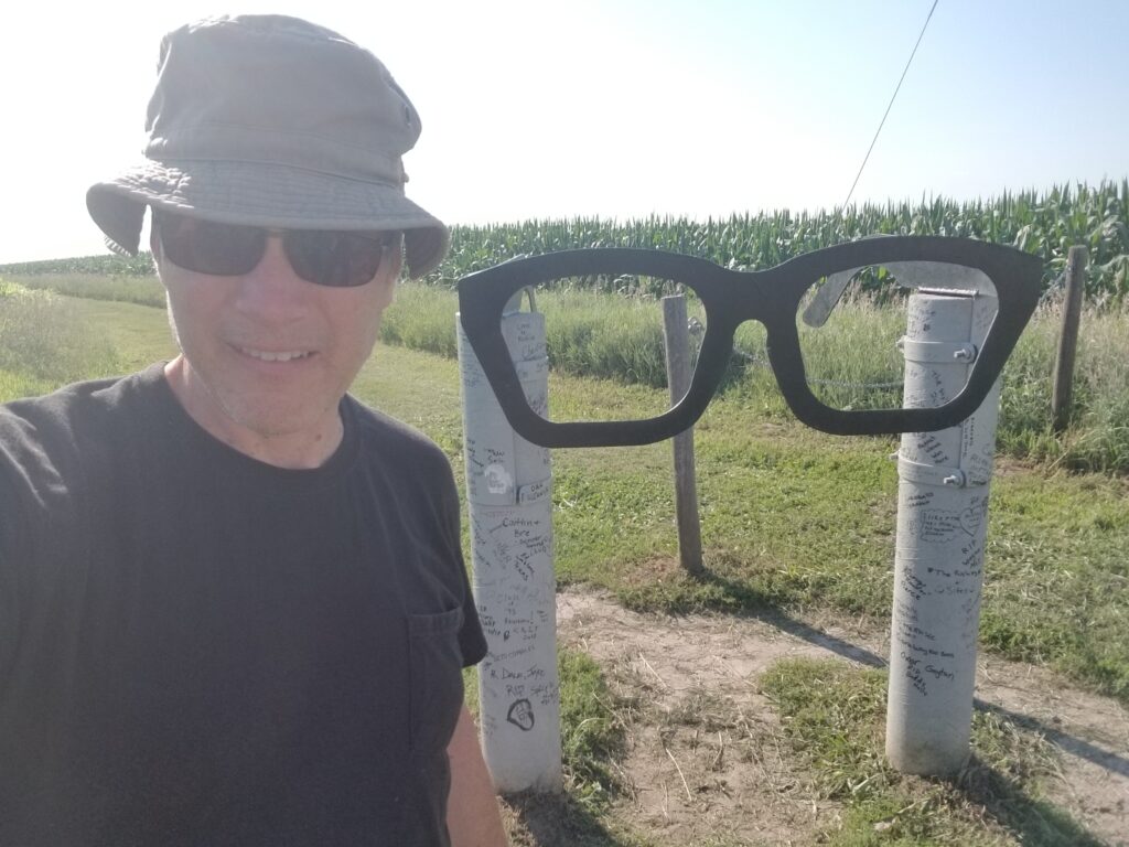
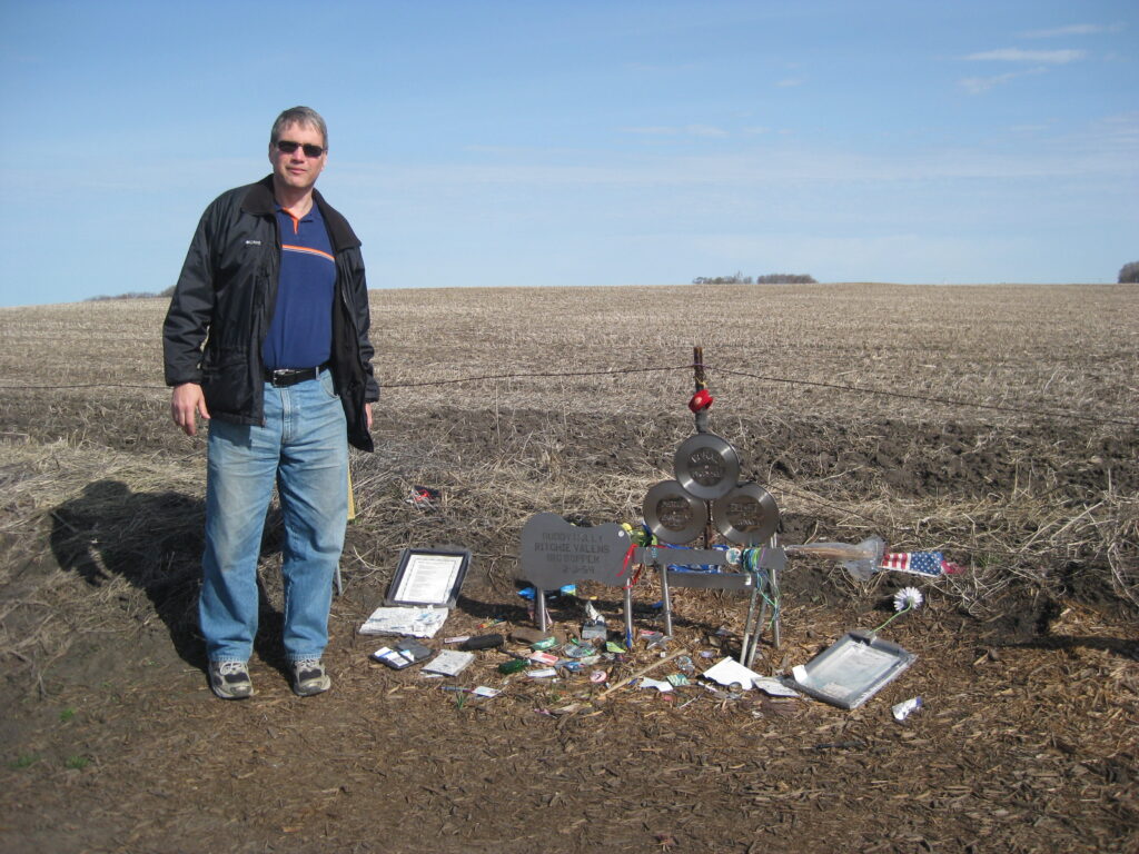
After experiencing the Surf Ballroom, the real Buddy Holly fans could also visit the site north of Clear Lake where Holly’s plane crashed. It is a short 11-minute drive, 6 miles north. You can park along the road at the corner of Gull Avenue and 315th Street. You will see memorial glasses near the intersection, and can walk west about a quarter mile to where there is a makeshift memorial along the property line. Pause for a few minutes, remember the musical talent that was lost in that field (e.g. “That’ll Be the Day”, “La Bamba”, “Chantilly Lace”), and grieve the possibilities of what could have been if all of them had survived that fateful night.
The intersection in April 2010July 2018 The ad-hoc memorial in April 2010
Foster Park is a small triangle of grass located southeast of the downtown area of Grand Rapids. There are no playgrounds or picnic tables. But this park does include one historically significant thing: a copy of a statue named “The Hiker,” sculpted by Theo Alice Ruffles Kitson. This statue was dedicated in 1928, and commemorates the Spanish War of 1898-1902. The base’s plaque mentions Cuba, Porto Rico, and Philippine Islands. When I took history back in the 1960’s, we learned about the Battle of Manila Bay and how that pretty much ended the war in the Philippines. However, the natives in the Philippines kept fighting the United States for years.
The original of the statue is located at the University of Minnesota ROTC building in Minneapolis. There were at least 50 copies made.
Niagara Falls have been a popular tourist destination since the early 1800’s. The Niagara River is on the boundary between New York and Ontario, running south from Lake Erie toward Lake Ontario. The falls are lighted up at night. The tourist shops in Niagara Falls, Ontario, are the epitome of souvenir shops.
My grandparents visited in 1935 with their family (B&W photo), and we were visiting there in 1980 (color photos). Neither of these were honeymoon trips, which were popular in the early days of tourism.