Hawkeye Point (+43.46, -95.7089)
This spot, just over 3 miles south of the Minnesota border, is listed as the highest elevation in the state of Iowa. It is located just east of Iowa highway 60, northeast of Sibley, Iowa.
If you search for “Hawkeye Point” in Google Maps, it is listed as a Mountain Peak. You will be sorely disappointed if you want to see a peak, or even a big hill. Geographically, Hawkeye Point is a rise near a silo.
Osceola County has done a good job of making a metaphorical mountain out of a molehill. There is a nice mosaic at the site, and signs pointing to other states’ highpoints. They also have a bulletin board sharing information about other interesting places in the county. 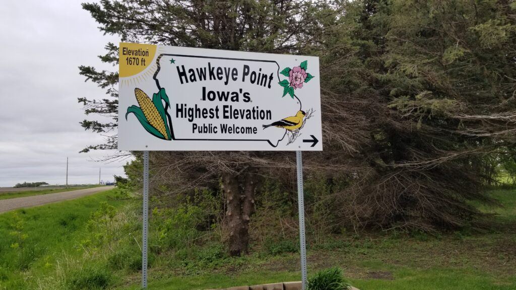
Entrance sign from IA-60 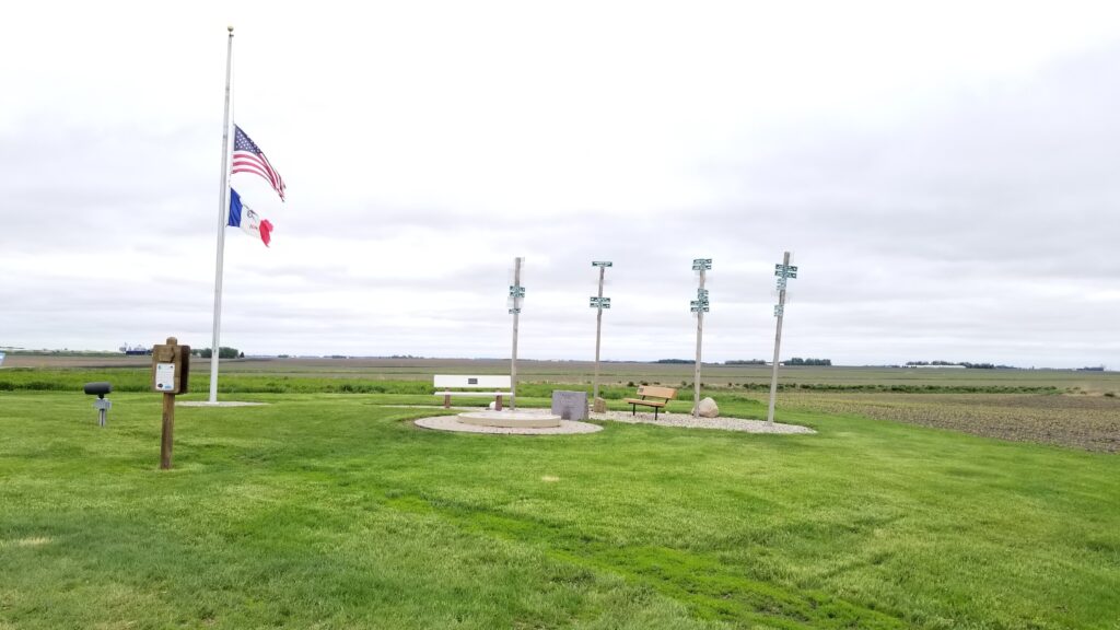
Looking SE from Hawkeye Point 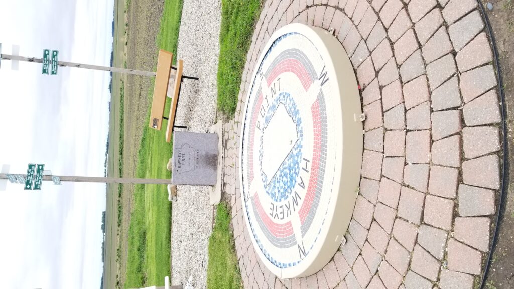
Hawkeye Point 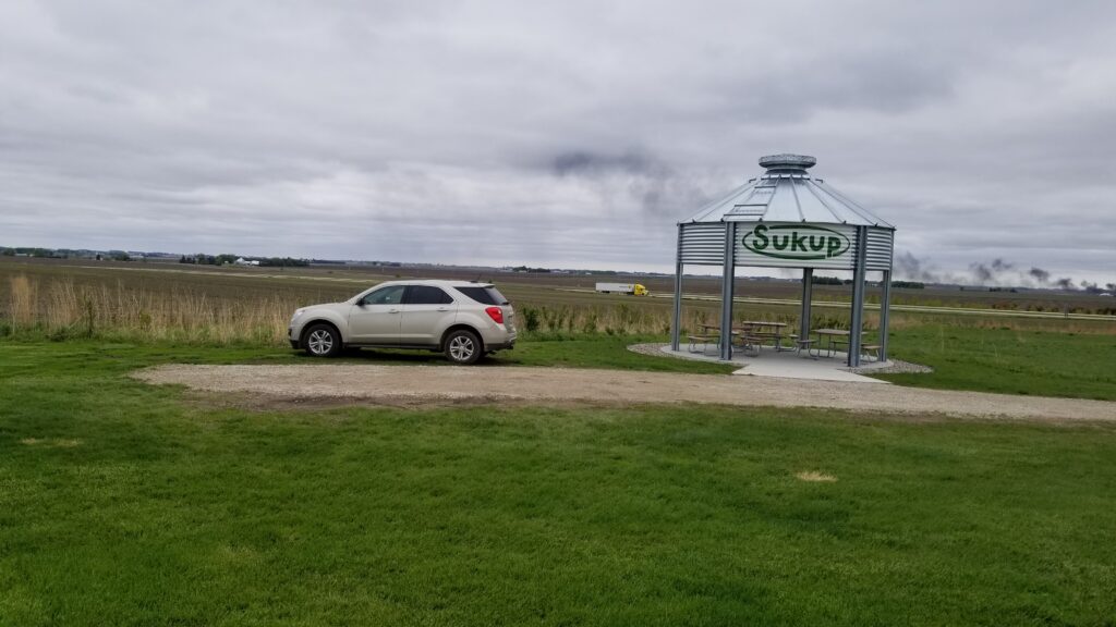
Looking west from Hawkeye Point
For those that prefer the highpont in a state to look like a hill, I would suggest traveling about 15 miles southeast from Hawkeye Point to Ocheyedan Mound.
Ocheyedan Mound (+43.4029, -95.5217)
Ocheyedan Mound was thought to be Iowa’s highpoint until 1971. It is 15 feet lower than Hawkeye Point, but rises high above the surrounding countryside. The mound used to be higher, but until 1909 people removed gravel and sand from the top.
The mound is technically a glacial kame, formed by retreating glaciers during the last ice age. 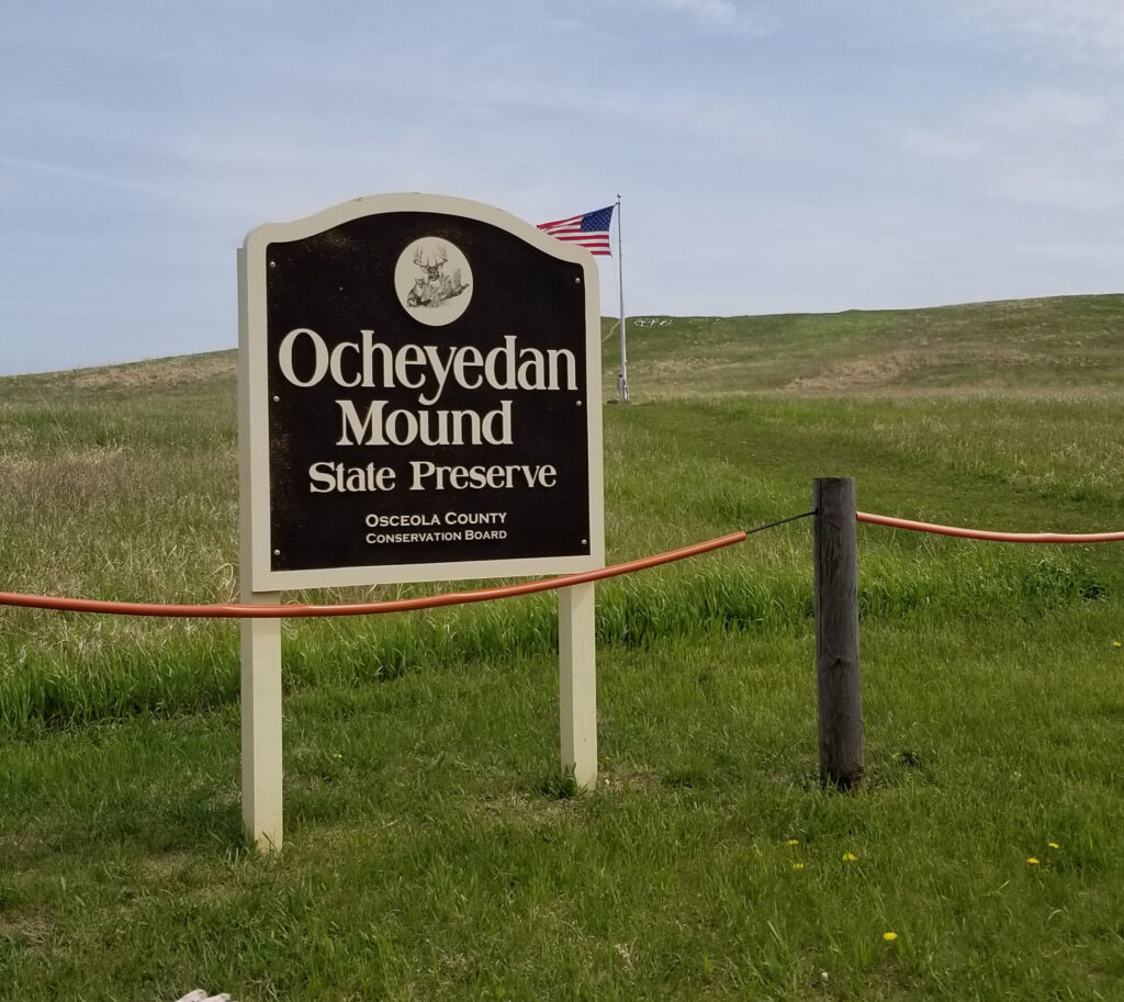
Parking lot SW of mound 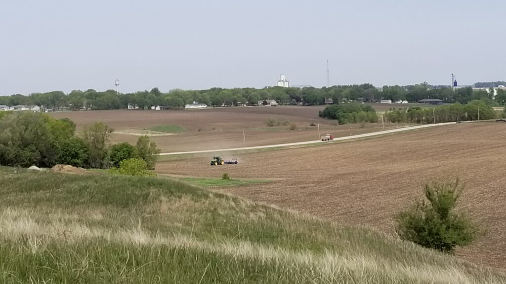
From the top of mound: toward Ocheyedan 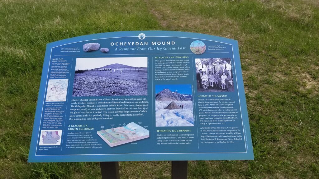
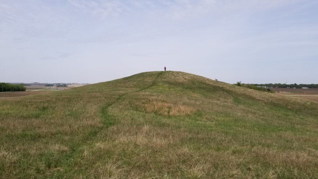
From the top of the mound, seeing where glacial fill had been removed
For more information:
https://en.wikipedia.org/wiki/Hawkeye_Point
https://www.mycountyparks.com/county/Osceola/Park/Ocheyedan-Mound.aspx
https://en.wikipedia.org/wiki/Ocheyedan,_Iowa
This made me literally laugh. I love Iowan humor.